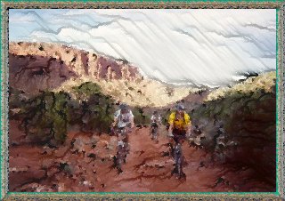
That was how Day 2 ended
in 1993, and amazingly all nine riders eventually made it to camp unscathed. Still, I
wasn't looking for a repeat performance this time around. We had a couple extra miles to
cover because of our choice to make camp a little early, but we covered the ground pretty
quickly despite a stiff headwind and were back on The Trail.
Click on the images below for larger versions.
|
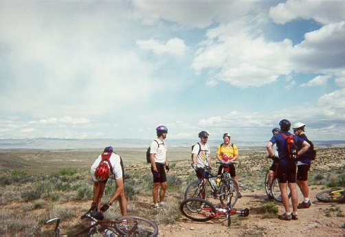
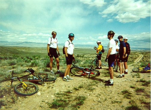
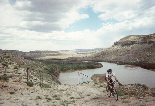
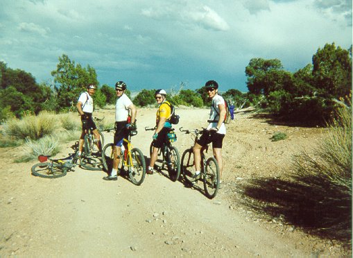
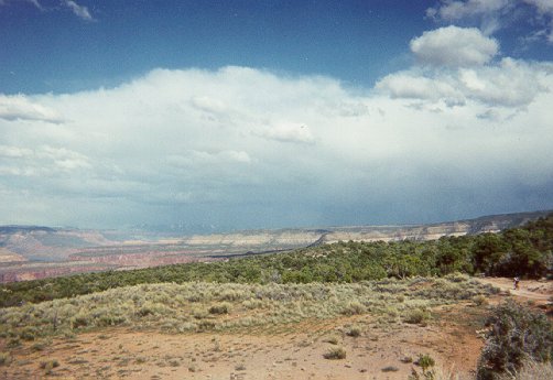
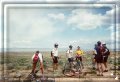
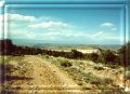
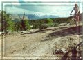
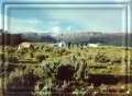
After battling a nasty headwind all the way to the Cisco Boat Landing we
hopped onto the pavement for a quick traverse over to the next trail segment. A car pulled
to a stop and motioned for our attention. "There are a couple really aggressive dogs
up ahead--they were jumping up on the side of my car trying to get at me" said the
driver. We thanked her, closed ranks, and picked up speed. Fortunately the dogs must've
found something else to chase because we never saw them. These shots were taken a couple
miles after we left the pavement and climbed up a fairly fast double-track path. Visible
behind the group is the relatively gentle terrain we'd just covered.
|
 |
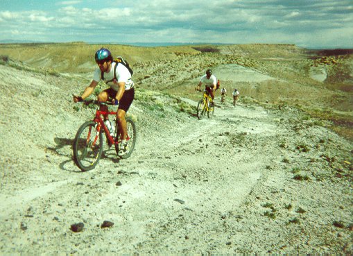
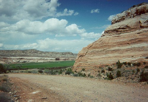
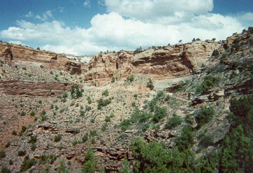
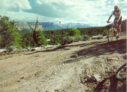
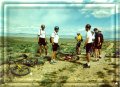
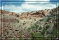
Steve and Rob hammer up one of the short hills that almost appeared to be
made of old mine tailings. This is a pretty barren section, through a wild-colored,
mineral-rich landscape. I always feel like I'm on a BMX course when bombing through the
descents and quick rollers in this segment.
|
 |
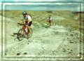
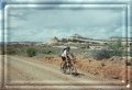
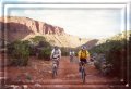
Mike (me) climbing up from the Colorado River. The trail drops right down
next to the Colorado and runs through some trees just above water line for a mile or two. We
met up with a small motorcycle group as they were experimenting with some pretty wild
descending. One of the riders stopped and chatted with us a little before continuing on.
The next rider also stopped and traded pleasantries, and asked us what we thought of the
previous rider. We said he seemed like a pretty good rider, given the slope he'd just
descended. The guy laughed and added "Particularly when you consider he's over
70!" Awesome.
|
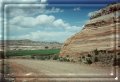 |
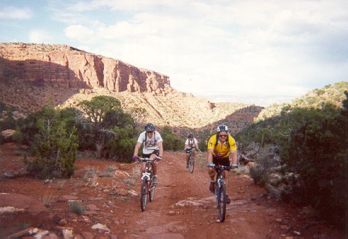
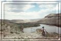
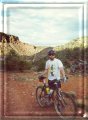
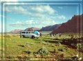
Now it begins. We'd met up with the sag wagon at Dewey Bridge and enjoyed
a relaxing lunch in the shade of some big trees at the rest area. Four of our nine riders
elected to help out with the Sag, leaving five of us to ride the second segment of the
day. That was probably partially my fault, as I'm sure my description of my last visit to
this segment was not encouraging. This picture shows the base of the road that climbs up
away from the Colorado River and Dewey Bridge. We've got about 2,200 feet of climbing to
look forward to before heading down (and back up) into Fisher Valley and camp.
|
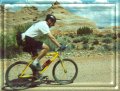 |
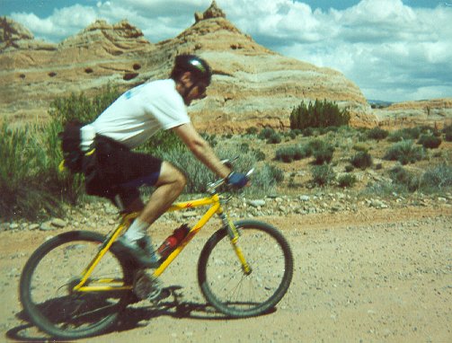
Rob's moving so fast he's just a blur. But that's what you'd expect from
a Road Guy once the trail opens up a bit. This picture, BTW, is the one I used to create
the bike rider navigation icons at the the bottom of each page. PaintShop Pro and the BladePro plugin are pretty hip.
|
 |
Mike savoring the bumpy road surface as the clouds begin to form up in
the distance. Will we make it to Fisher Valley before dark this time?
|
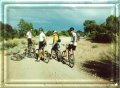 |
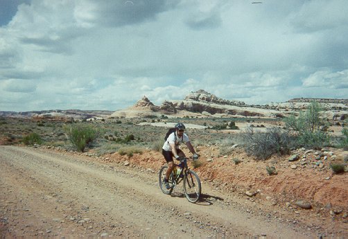
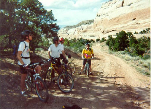
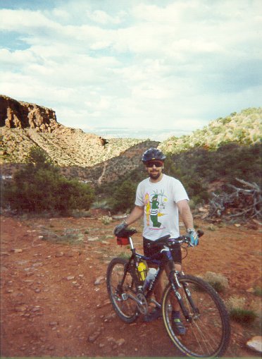
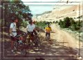
The Climb Boys. Henry, Rob, Terry, Mike, and (behind the
camera) Mike take a minute to look energetic before returning to the assault. |
 |
Ah sweet offroad relief. The Kokopelli guidebook mentions a cottonwood
canyon shortcut--take it! It has a steep climb or two, but the scenery is great and there
are some fun sections in there. Plus, anything that gets you away from climbing that road
is a Good Thing.
|
 |
Just a shot to highlight the loose, steep, cobblestone-like
surface we'd been crawling up. We were starting to gain some serious elevation, though, so
the views were almost worth it. |
 |
Shade and Henry stops at last. The only problem was that he
left his sunglasses under these trees, so if ever you're riding by... |
 |
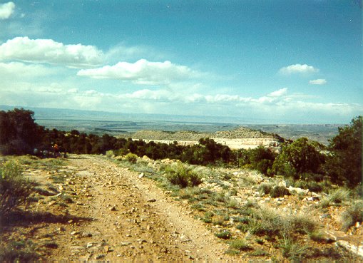
At the top and time to get cruising before the weather
sneaks up on us. |
 |
Henry bombin' down with the La Sals in the background. The
descent towards Fisher Valley is long, fast, rough, and wild. Suspension is your friend,
and fatigue is nagging at the back of your mind waiting for a mistake. What a kick!
|
 |
Three amigos start the last climb over the rim of Fisher
Valley. Behind us, partially in the shade, is one of the best technical descents on the
Kokopelli. Covered with "baby head" and up boulders, it's a few hundred feet of
big fun and big adrenaline. This is the picture, BTW, that I touched up and used at the
top of the page.
|
 |
Mike with the Big Downhill just over his right shoulder.
Gumby surfs the rock! |
 |
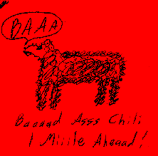
And the sheep are baaaack. Heh. This post-it note was tacked
up on a post about a mile from camp. Our spirits sky-rocketed and we must've jumped the
pace up at least a half mile an hour. |
 |
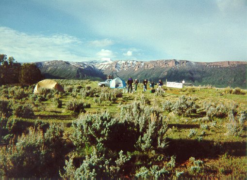
Looking up Fisher Valley to our camp and the snow-covered La
Sal mountains beyond. Our Day 3 ride would take us up into the mountains to discover just
how far down the snow still came. |
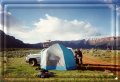 |
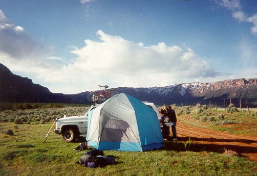
As a storm rolled in and the chili started to settle in odd
ways I decided to go for the tent instead of the bivvy sack. The wind was so strong that I
parked the Burb upwind of the tent to provide a little relief. The rain and lightning
came, the tent swayed, but the chili and other oddities we'd eaten for dinner proved
enough to keep the tent on the ground.
|
 |
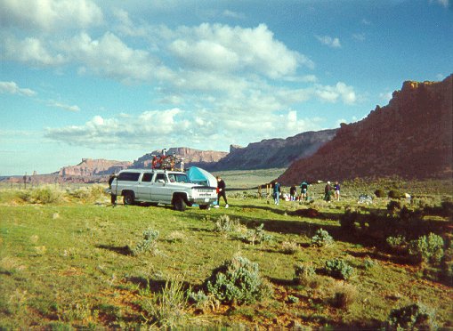
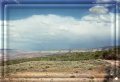
A view down Fisher Valley towards highway 128. The drive in took over an
hour, and though I've never seen it the sag drivers say it's pretty tight for a Suburban
with bikes on top. Make sure you attach the bikes to the outside rails (passenger side on
the way in and driver's side on the way out). This is a phenomenal campsite, in the
middle of nowhere and right at the trailhead for Day 3.
Mike's Journal, End of Day 2 |